
· Patrik · Story
Why We Built MapRiot
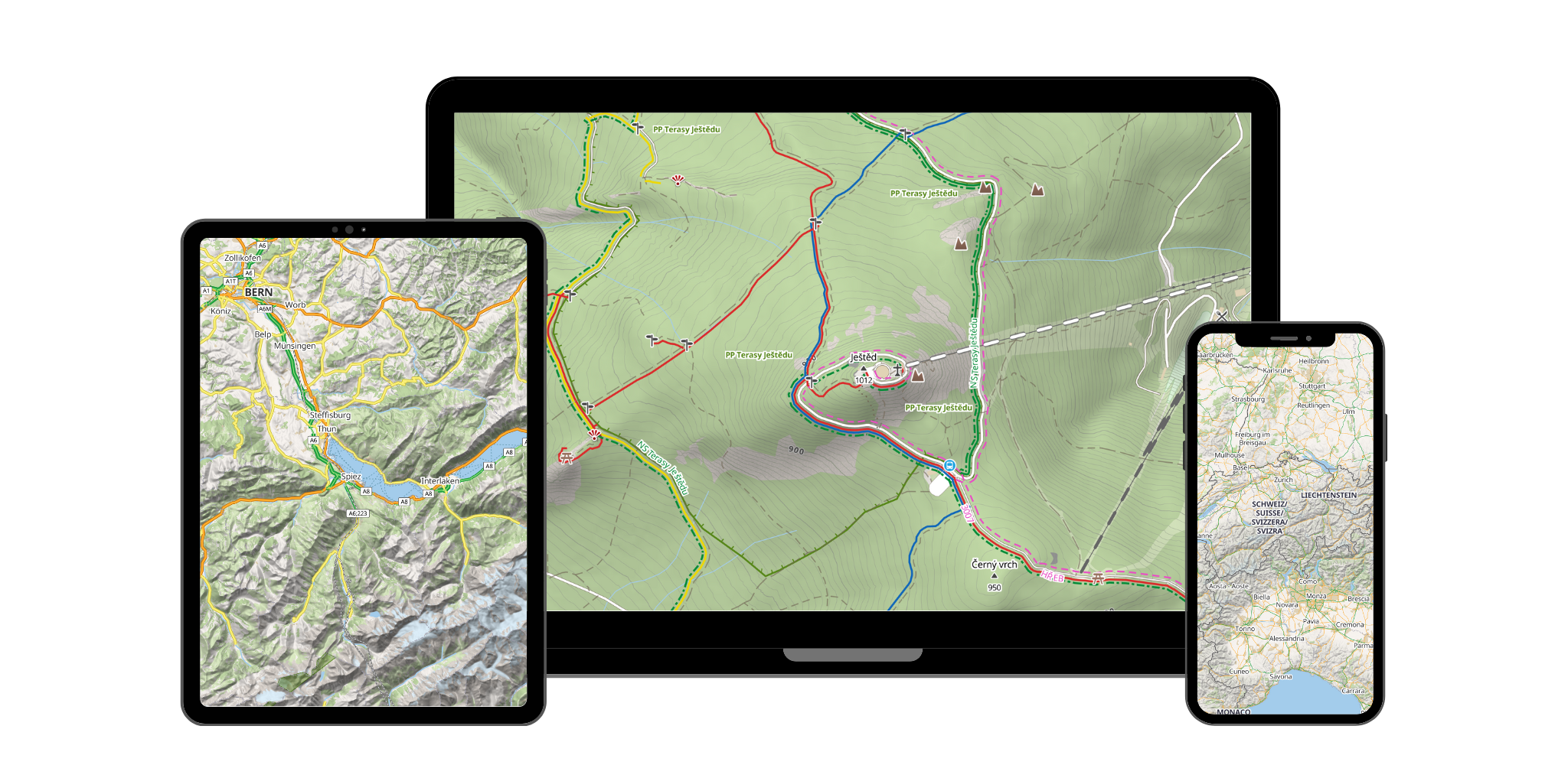
The map data is open. The tools are open-source. So why are outdoor map tiles still so expensive? We built MapRiot to offer a different deal.
The map data is open. The tools are open-source. So why are outdoor map tiles still so expensive? We built MapRiot to offer a different deal.

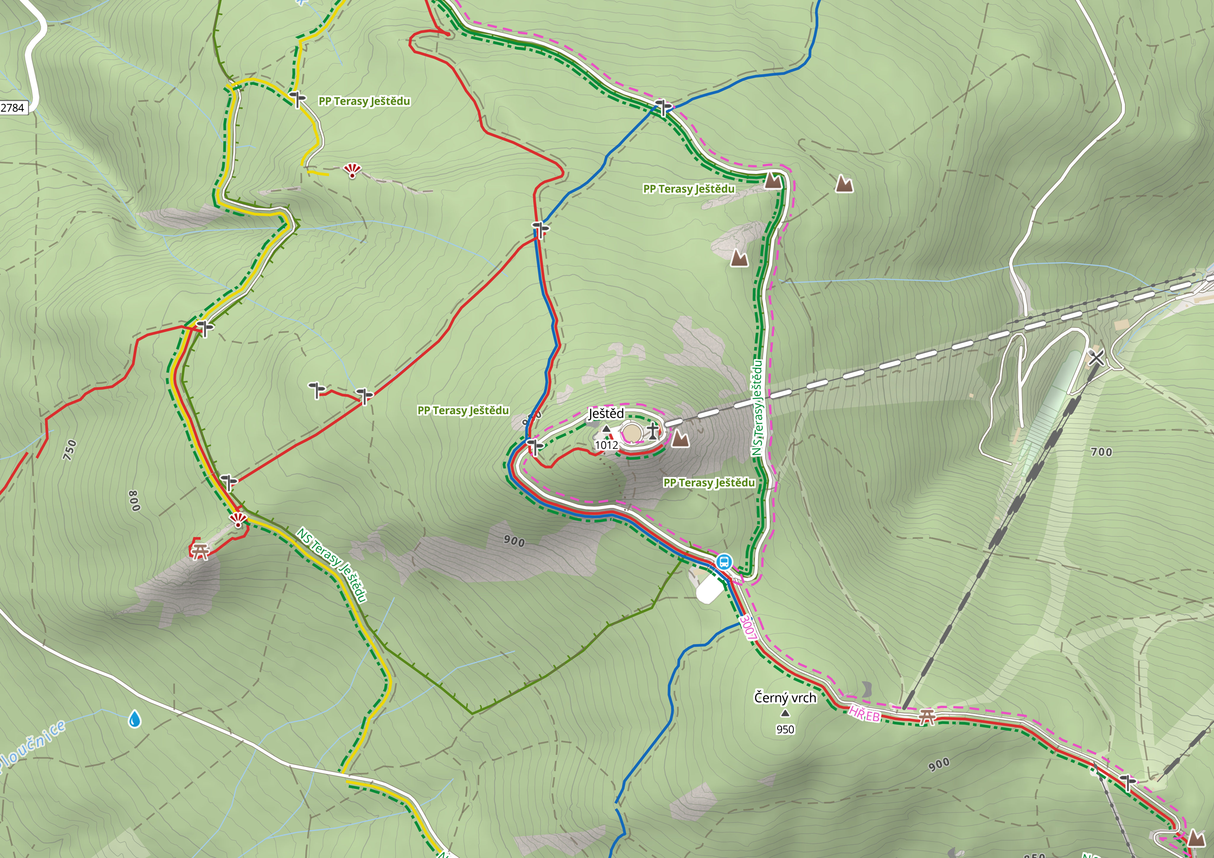
Designing a map style for hikers and cyclists means making thousands of small decisions — which trails to show, how to render contours, when hillshading helps vs. when it clutters. Here's how we approached it.
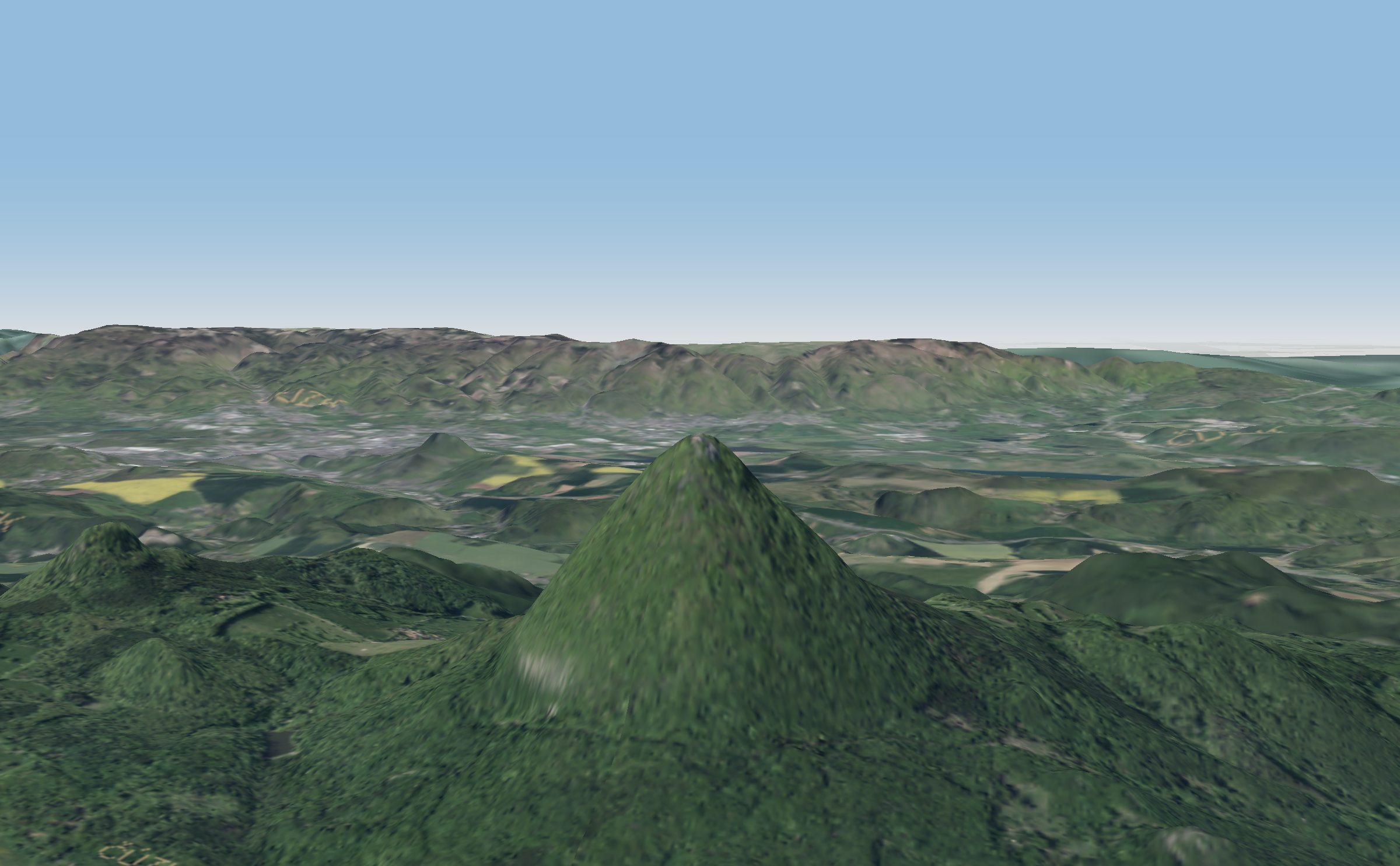
From satellite DEMs to contour lines and hillshading tiles — how raw elevation models become the terrain layers behind MapRiot's outdoor maps.
Both serve map data to your app. But they work fundamentally differently, and the choice affects performance, styling flexibility, interactivity, and cost. Here's a practical comparison.