· Patrik · Engineering
How We Process Elevation Data for 30+ Countries
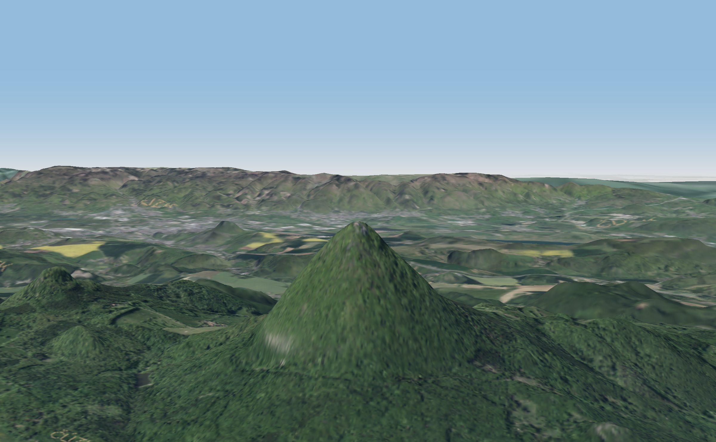
From satellite DEMs to contour lines and hillshading tiles — how raw elevation models become the terrain layers behind MapRiot's outdoor maps.
From satellite DEMs to contour lines and hillshading tiles — how raw elevation models become the terrain layers behind MapRiot's outdoor maps.