· Patrik · Story · 2 min read
Why We Built MapRiot
The map data is open. The tools are open-source. So why are outdoor map tiles still so expensive? We built MapRiot to offer a different deal.
If you’re building an outdoor app, you’ve probably noticed something odd about the map tile market. The underlying data — OpenStreetMap — is maintained by a global community of volunteers and licensed openly. The rendering tools are open-source. Yet the moment you need this data served as styled, reliable tiles, the prices jump.
That’s not because tile providers are doing something wrong. Serving tiles at scale is real engineering: styling, caching, infrastructure, uptime. That costs money. But we believe the pricing doesn’t have to be as high as it is, especially for developers building hiking apps, cycling trackers, and trail guides — apps where map tiles are a core dependency, not a nice-to-have.
MapRiot exists to offer a different deal.
Our approach
Open-source mapping tools have matured enormously. The cost of serving pre-rendered vector tiles is a fraction of what it was a few years ago. We think pricing should reflect that — especially for outdoor apps where map tiles are a core dependency, not an optional feature.
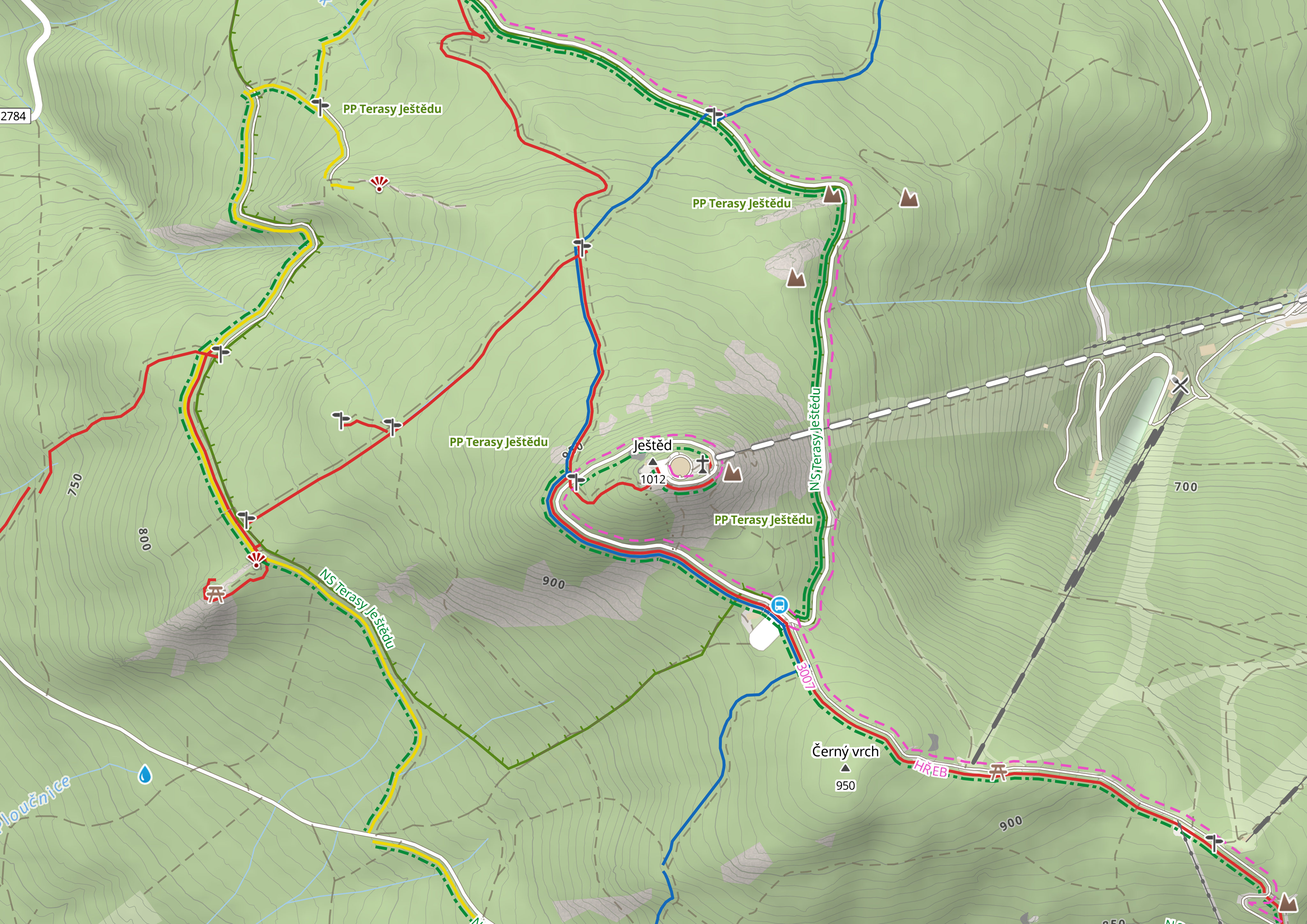
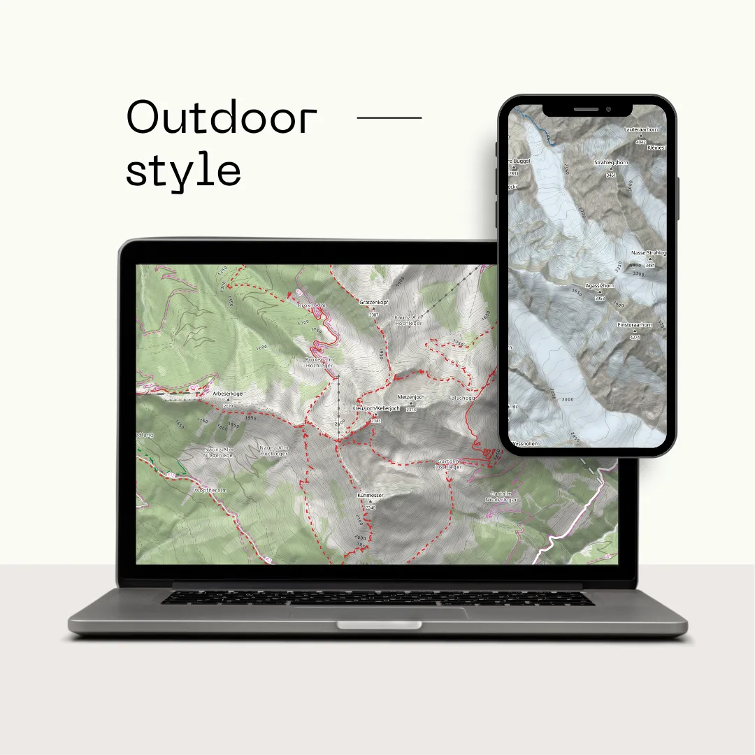
We built a purpose-designed outdoor map style with color-coded hiking trails, per-country contour lines, hillshading, and terrain data — the kind of detail that outdoor apps need and generic map providers don’t always prioritize.
What we offer
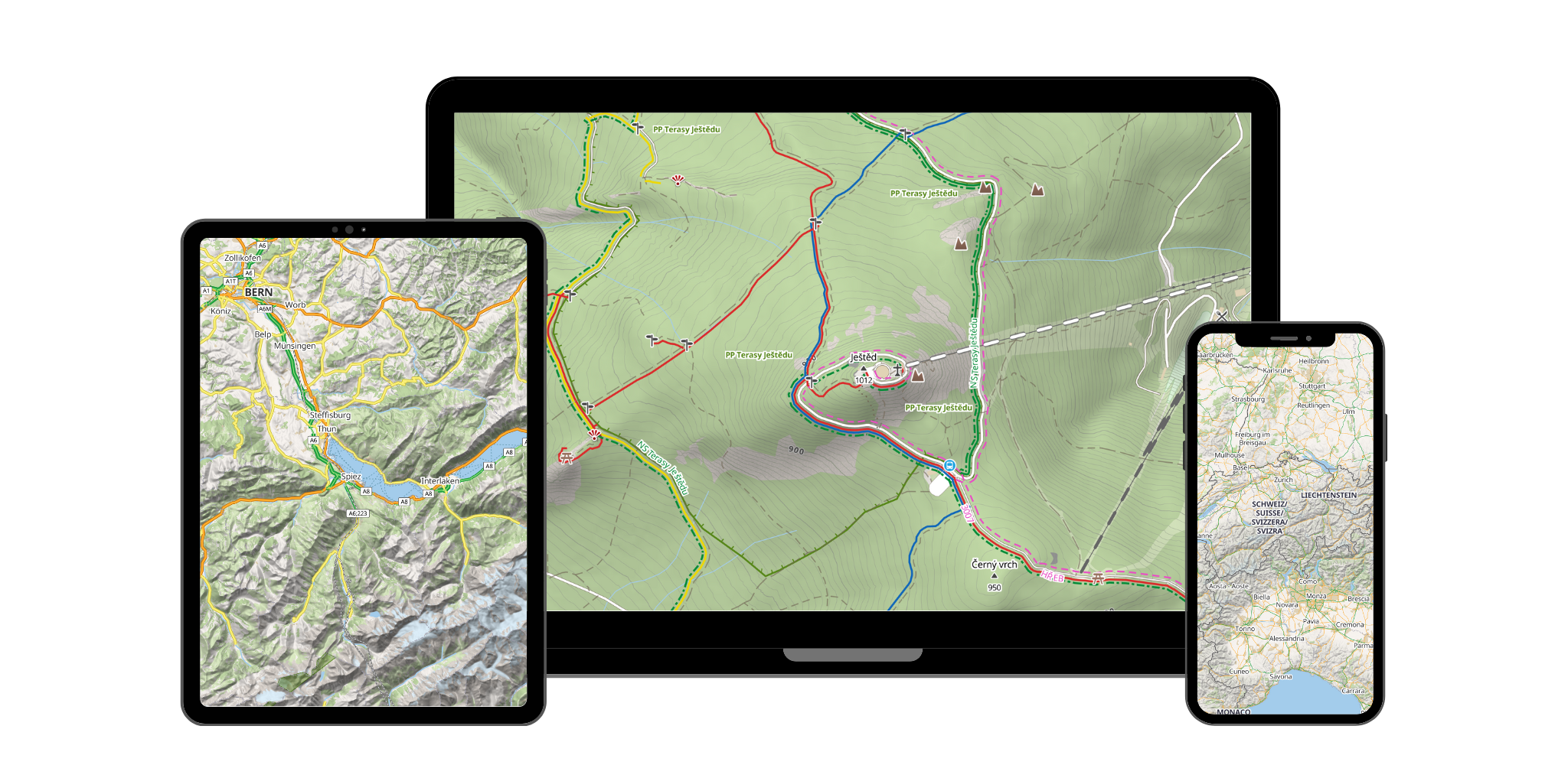
MapRiot serves vector tiles, raster tiles, contour lines, hillshading, elevation data, and static map images — everything an outdoor app needs.
The pricing model is simple: a generous free tier for prototyping and small projects, and paid plans priced to reflect actual infrastructure cost. No surprises, no lock-in.
What “MapRiot” means
The name captures the spirit of the project. Map for our foundation in OpenStreetMap’s community data. Riot for challenging the assumption that quality outdoor map tiles have to be expensive.
Who this is for
If you’re building a hiking app, a cycling tracker, a travel planner, or anything that puts people on a map outdoors — you shouldn’t have to choose between quality and affordability.
The free tier gives you 250,000 units per month — enough to prototype, test, and ship a real app. No credit card required.
Browse the map to see the outdoor style in action, or check the API docs to start building.
That’s the riot. Welcome to it.