Raster Tiles
Pre-rendered JPEG tiles of the outdoor style. Use these when you need image-based map tiles without a vector renderer — for example in apps using Leaflet or OpenLayers. All sources (map, contours, hillshading, relief) are blended server-side into a single image.
| Type | Composite raster (all sources blended server-side) |
| Format | JPEG, 2× pixel density (512 px tile rendered to 256 px logical size) |
| Billing | 5 units per tile |
Tile URL
/styles/{style}/raster/{z}/{x}/{y}?apiKey=<key>| Parameter | Description |
|---|---|
style | Style name. Currently outdoor only. |
z | Zoom level |
x | Tile X coordinate |
y | Tile Y coordinate |
Example
/styles/outdoor/raster/14/8873/5504?apiKey=<key>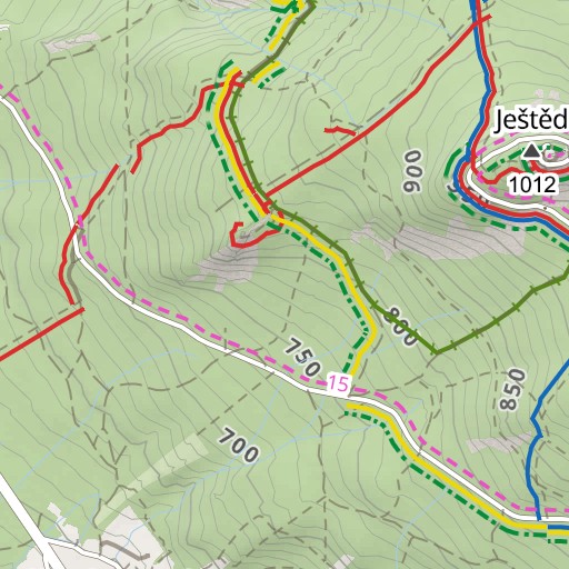
Usage in Leaflet
L.tileLayer(
'https://api.mapriot.com/styles/outdoor/raster/{z}/{x}/{y}?apiKey=YOUR_API_KEY',
{
attribution:
'<a href="https://mapriot.com/copyright" target="_blank">© MapRiot.com</a> ' +
'<a href="https://www.openstreetmap.org/copyright" target="_blank">© OpenStreetMap contributors</a>',
tileSize: 256,
maxZoom: 18,
}
).addTo(map);See the full Leaflet example.
Usage in OpenLayers
new ol.layer.Tile({
source: new ol.source.XYZ({
url: 'https://api.mapriot.com/styles/outdoor/raster/{z}/{x}/{y}?apiKey=YOUR_API_KEY',
tileSize: 256,
attributions:
'<a href="https://mapriot.com/copyright" target="_blank">© MapRiot.com</a> ' +
'<a href="https://www.openstreetmap.org/copyright" target="_blank">© OpenStreetMap contributors</a>',
}),
})See the full OpenLayers example.
Notes
- For full interactivity and style control, use the outdoor style with MapLibre GL JS instead
- Raster tiles cost 5× more than individual vector source tiles because they are composited server-side from multiple sources